
Hoover ZIP Directory Coverage
Six ZIP codes touch Hoover, but their fit with the city varies. The city’s economic analysis identifies 35216, 35226, 35244, and 35242 as the principal postal areas. Later city work also recognizes small Hoover pieces in 35124 and 35080. Only 35226 and 35244 are described as mostly inside Hoover. That distinction matters because a postal name can say Birmingham, Vestavia Hills, Pelham, or Helena while the parcel still receives Hoover services.
| ZIP | Hoover Areas | Postal Station | Jurisdiction Clue |
|---|---|---|---|
| 35216 | Lorna Road, east U.S. 31, Old Rocky Ridge, City Hall and library | Vestavia Hills, 745 Montgomery Highway | Much lies outside Hoover |
| 35226 | Bluff Park, west U.S. 31, Preserve and Grove, north I-459 | Exact station not documented | Mostly inside Hoover |
| 35244 | Riverchase, Galleria, southwest Hoover and the Met | Hoover, 1809 Riverchase Drive | Mostly inside Hoover |
| 35242 | Altadena, Inverness, Greystone and U.S. 280 | Meadowbrook, 1900 Corporate Drive | Extends beyond Hoover and crosses county context |
| 35124 | Small southern portions | Pelham, 2960 Pelham Parkway | Mostly Pelham |
| 35080 | Small southwestern portions | Helena, 800 Highway 52 | Mostly Helena |
The table is a starting map, not a roll of residents. A ZIP code follows mail delivery. City limits define municipal authority, and the Jefferson-Shelby line selects the assessor, recorder, and many courts. Each address must pass all three tests.
Hoover ZIP Records by Area
ZIPs 35226 and 35244 are the cleanest broad clues because most of each lies within Hoover. Even there, the postal directory should not be treated as a municipal boundary file. The 35226 area gathers Bluff Park and land west of U.S. 31, while 35244 follows Riverchase, the Galleria, and southwest Hoover. Those names help orient a search, yet an individual parcel still needs map confirmation.
The two areas also reflect different stages in Hoover’s growth. Bluff Park predates city incorporation. Riverchase developed in the late 1960s and joined Hoover on September 8, 1980. A family or property trail may therefore change its catalog heading, postal identity, or public custodian without the structure itself moving. Parcel geometry is the stable bridge.
Note: A Hoover postal label is useful for mail, but only the city and county maps establish public-record jurisdiction.
Hoover ZIP Boundary Myths
The largest trap sits in 35216 and 35242. The first includes Hoover’s civic core and Lorna Road but also substantial land beyond Hoover. The second covers Inverness, Greystone, Altadena, and the U.S. 280 corridor, then continues outside the city and across county context. A search that sends every 35216 record to Hoover City Hall, or every 35242 deed to one county, can miss the correct file.
Boundary check. Postal city and ZIP do not prove Hoover jurisdiction. Confirm the parcel in Jefferson or Shelby GIS before choosing an office.
Small portions of Hoover also fall in 35124 and 35080, codes identified mainly with Pelham and Helena. This is the central myth-busting fact in Hoover ZIP code research: postal identity and municipal identity are different systems. It explains why a correct street address may appear under an unexpected place name.
Find Hoover Residents by ZIP
No official portal offers an unrestricted list of all residents in one ZIP. Property systems identify parcel owners, not every occupant. Alabama VoterView verifies one person only after first name, last name, date of birth, and a reCAPTCHA; it is not a ZIP browser. The statewide voter-list form can specify a county, city, or district, but does not advertise ZIP as a standard scope. A sound ZIP code directory workflow narrows, verifies, and then searches by an accepted field.
- Verify the full delivery code through the USPS ZIP Code Lookup. Use the exact street address rather than a neighborhood guess.
- Open Jefferson Enterprise GIS or Shelby GIS to confirm county, municipality, and parcel.
- Search the correct assessor by property address. Keep the parcel number, owner name, and legal description, while treating the tax mailing address only as a clue.
- If the goal becomes a whole named road, continue with the Hoover directory by street rather than claiming a ZIP-wide resident list exists.
The official USPS form shown here is the proper first stop for delivery verification.
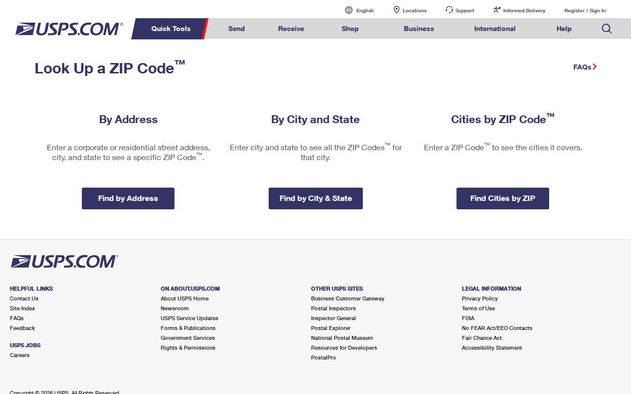
Its result settles postal routing. County GIS still settles jurisdiction and directs the later records search.
Hoover ZIP Address Terms
Several address labels appear together in Hoover records. Knowing which one a portal expects prevents false misses. CAPture, for example, separates the physical property address from the owner’s mailing address. Deeds rely on a legal description that may survive a change in postal label or street wording.
- ZIP and ZIP+4
- A five-digit delivery area and an added four-digit segment that narrows a route, block, or delivery point.
- Carrier route
- A postal delivery path within a ZIP, not a city boundary or public resident roll.
- Situs address
- The physical location of the parcel. It can differ from the address where the owner receives tax mail.
- Legal description
- The lot, block, subdivision, or survey wording used to identify land in deeds.
No Hoover-specific PO-box-only or unique institutional ZIP was verified in the research. Those categories should not be inferred from a missing street result. The exact address belongs in USPS lookup, while a parcel number or legal description belongs in county land systems.
Annexation Shaped Hoover ZIPs
Hoover began in 1967 with 406 people and a small petition area. Annexations followed from 1969, Riverchase joined in 1980, growth reached west and east by 1989, and Inverness and Greystone were part of the expansion by 1992. Parcel-specific annexations still occurred in 2023. Postal delivery zones did not redraw themselves to mirror every municipal change.
That history explains the irregular footprint better than a simple postal directory can. Hoover grew across Shades Mountain and the Cahaba River from separate communities rather than around one old downtown. The modern city crosses two counties, while mail may retain a nearby city name. For an older trail, Bluff Park, Rocky Ridge, Green Valley, Patton Chapel, Acton, Riverchase, Birmingham, and suburban headings can all be relevant.
The map also changes which office can answer the next question. A Jefferson parcel routes property work to CAPture and Enterprise GIS, with recorded deeds in LandmarkWeb or the Birmingham or Bessemer probate room. A Shelby parcel routes map work to Shelby GIS and recorded instruments to ROAM or the Columbiana record room. Hoover City Hall handles maintained municipal material such as address-specific permits and code files through a records request, but it does not replace either county land office.
Note: No official Hoover-wide renumbering year or ZIP realignment year was found, so searches should not assume one.
Hoover ZIP Research Fallbacks
When a modern address does not resolve, the fallback chain moves from mail to maps and then to repositories. Confirm spelling with USPS. Search the relevant GIS by address, owner, or parcel. If the property is historic, use Birmingham Public Library directory holdings, Alabama Department of Archives and History county material, and Hoover Historical Society collections under the community name used in that era.
The Alabama Archives research-request channel pictured here is useful when county microfilm or historical sources cannot be checked in person.
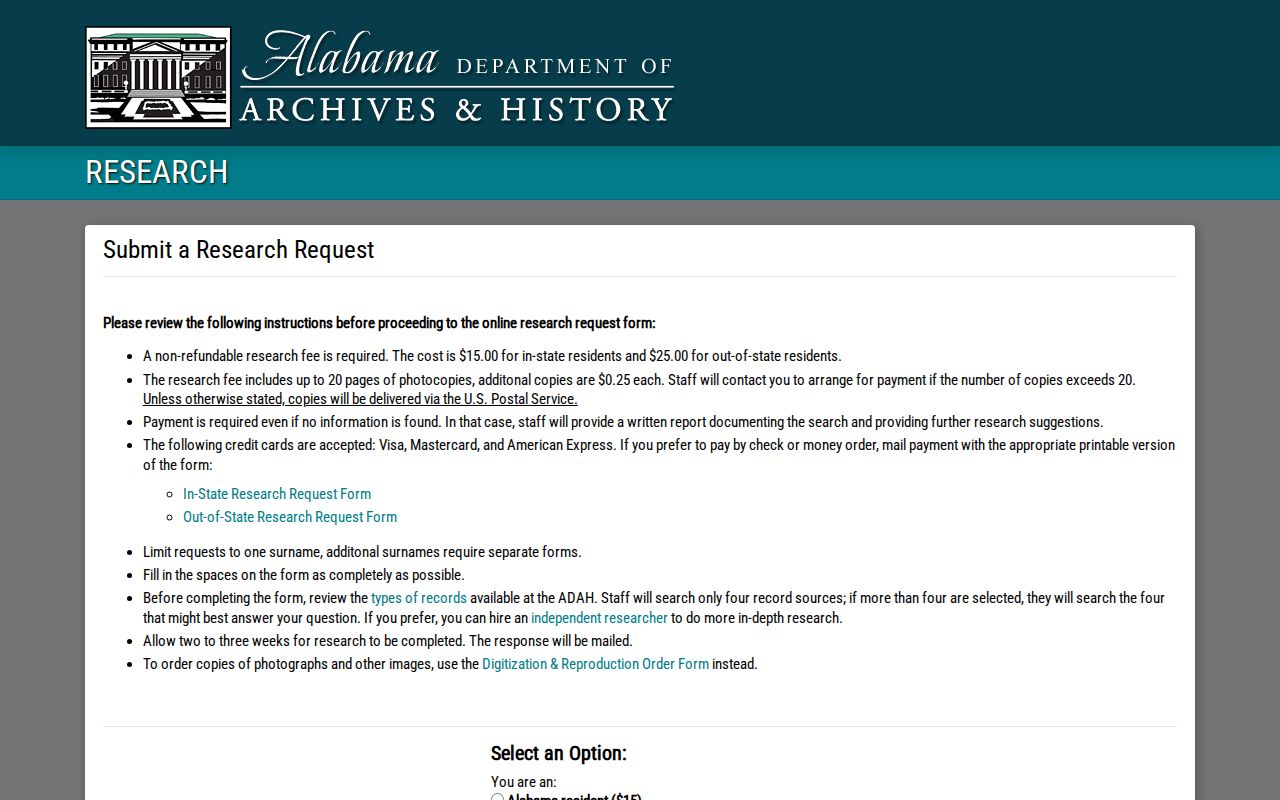
Archive research does not certify a present ZIP or title. It can supply the older name, date, or record series needed to return to the correct public custodian.
Hoover ZIPs Choose Courts
A ZIP may also mislead a court search. Hoover Municipal Court covers municipal ordinance, traffic, and misdemeanor matters, with records obtained by request rather than a public name database. Jefferson or Shelby circuit and district files follow the proper county. Federal cases for Hoover fall within the Northern District of Alabama, and remote PACER access is separate from free electronic viewing at a courthouse terminal.
The Northern District access page captured here shows the federal channel assigned to Hoover.
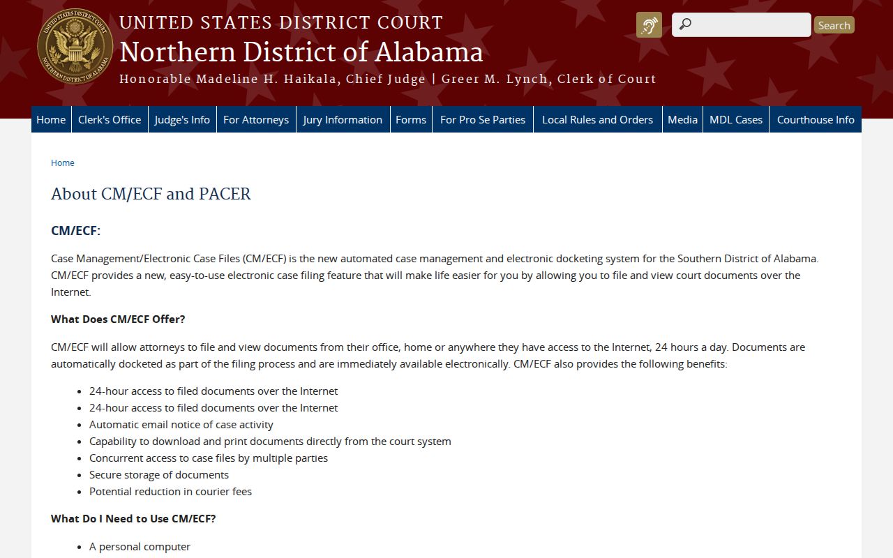
This court route is not a ZIP-based resident search. It illustrates why each code must be translated into the right jurisdiction before a name is checked.
Limits of Hoover ZIP Lookup
A postal directory can organize geography, not disclose a complete household. Assessor data names an owner and distinguishes situs from mailing address. Deeds record land transactions. A lawfully ordered voter file may contain approved public fields, with protected addresses removed. None of those sources guarantees that a named person currently occupies the property.
Alabama protects some voter addresses for qualifying victims and specified officials and spouses. Utility accounts, alarm responders, library users, and motor-vehicle address data are not substitutes for a public resident directory. Use the least amount of data needed, check it against its official source, and do not use a Hoover ZIP lookup to watch, threaten, or harass anyone.
Record dates matter too. Jefferson parcel layers update on their own cycle, assessment ownership can lag a newly recorded deed, and Shelby results may span more than one recent cadastral year. USPS resolves the delivery label in use now. The assessor and recorder establish different facts. When they disagree, keep the timestamp from each source and ask the responsible office about its update schedule rather than forcing the records into one undated answer.